expert solutions for aerial technology
Elevate the Possibilities
Telos Aerial is a premier aerial drone consultancy specializing in cutting-edge solutions for aerial surveying, mapping, and digital surface modeling. As a leader in the field, we combine advanced drone technology with expert analysis to deliver precise data and actionable insights.
Our services empower businesses to make informed decisions, optimize operations, and achieve new heights in innovation and efficiency.
All Services
Services

photogrammetry
Providing high-resolution, cost-effective, and time-efficient aerial mapping and 3D modeling, enabling precise data collection for various applications

thermal imaging
Enabling efficient, non-invasive detection of temperature anomalies, making it invaluable for applications like inspections, energy audits, and search-and-rescue operations

laser scanning
Delivering highly accurate, detailed 3D topographic data, enabling efficient surveying and mapping complex terrains and hard-to-reach areas

aerial surveying and mapping
Providing fast, accurate, and cost-effective data collection, revolutionizing land analysis, construction planning, and environmental monitoring

construction
From pre-construction surveys to final inspections, drones are integrated into nearly every stage of construction

agriculture
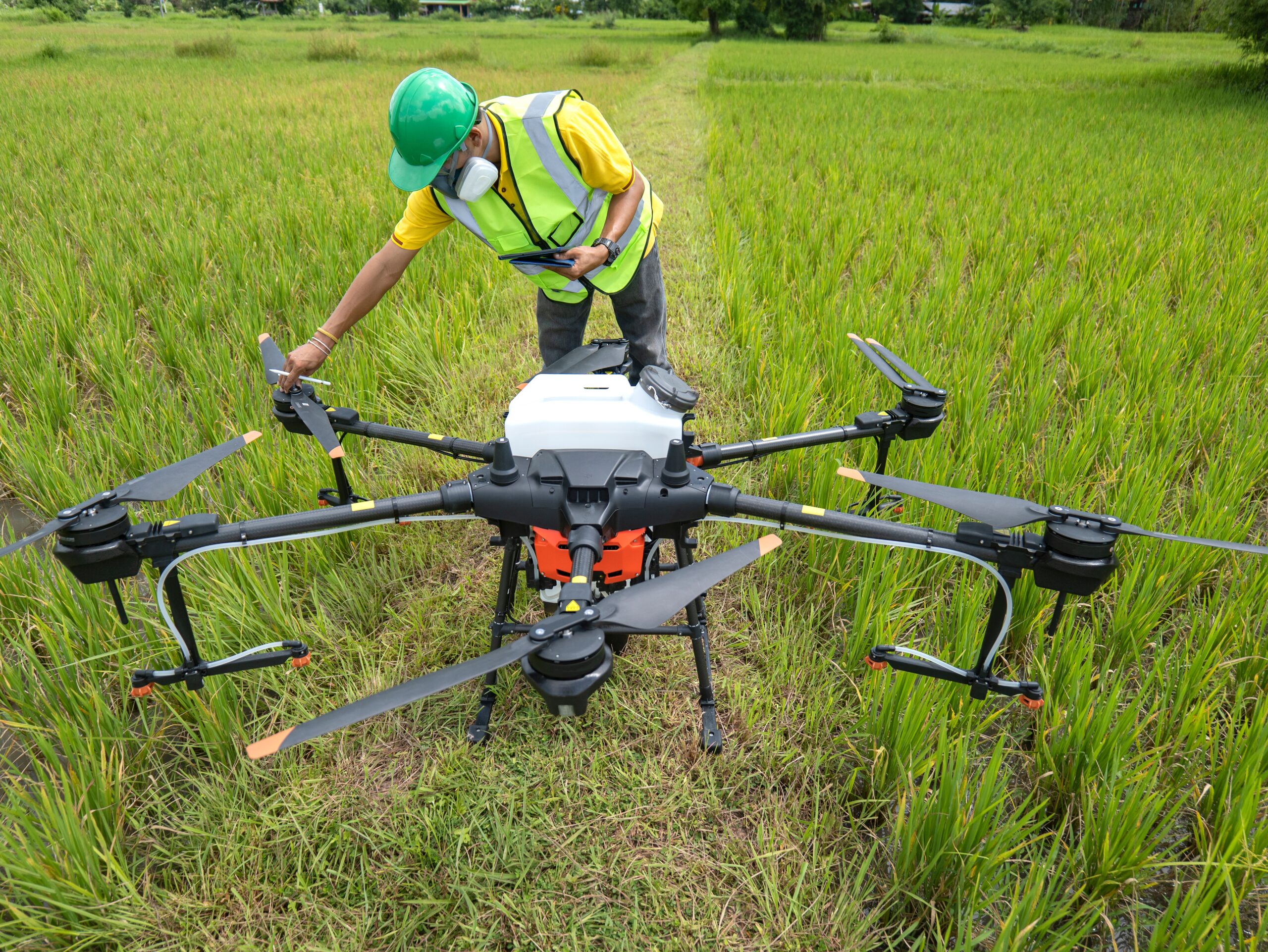
The applications of drones in agriculture are as varied as the crops they monitor

energy
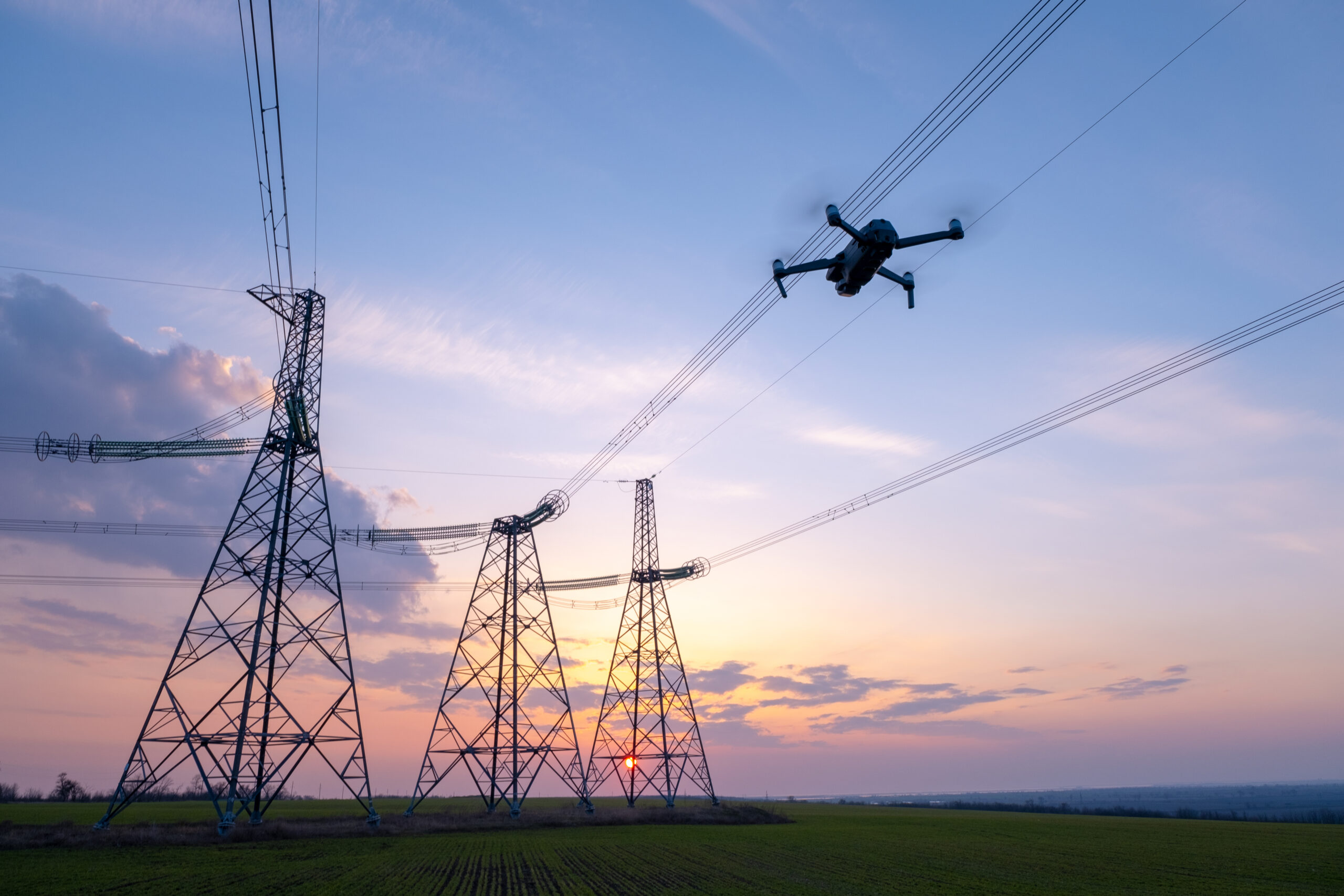
Drones have revolutionized the energy sector by streamlining site management and inspection processes

inspections
Drone inspection technology has emerged as a powerful tool across multiple industries
leaders in the industry

Scroll Down
Years Established
Completed Projects
Happy Clients
helping drive innovation For Over 10 Years

request a consultation

revolutionizing agriculture
Agriculture finally harmonized with cutting-edge technology

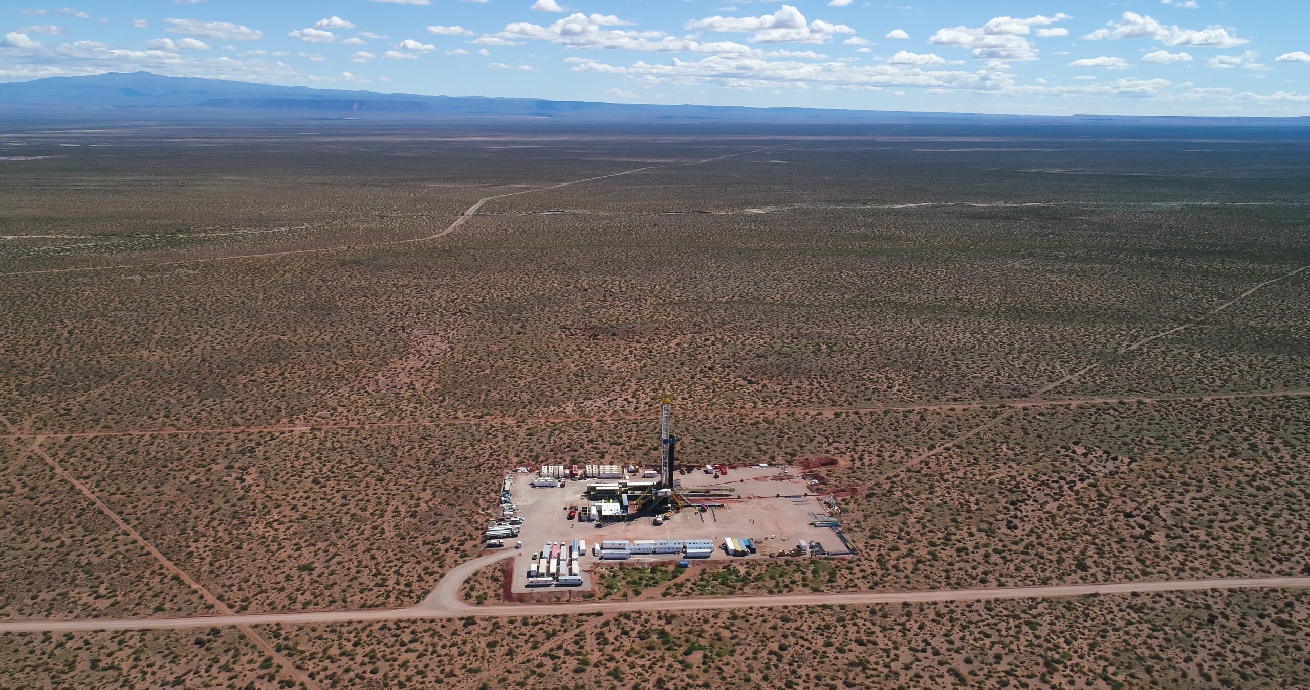
streamlining oil and gas
Energy companies can now improve operational safety and efficiency while enhancing environmental stewardship
“Luctus lectus non quisque turpis bibendum posuere. Morbi tortor nibh, fringilla sed pretium sit amet.”

Juanita Moran
Booking Tunes
“Nisl massa, ultrices vitae ornare sit amet, ultricies eget orci. Sed vitae nulla et justo pellentesque congue nec eu risus.”

Saif Guerra
“Ac feugiat ante. Donec ultricies lobortis eros, nec auctor nisl semper ultricies. Aliquam sodales nulla dolor.”

