Our Services
At Telos Aerial, we offer expert drone consulting services to help businesses and organizations implement aerial technology solutions.
Whether you’re new to drone technology or looking to upgrade your existing operations, our team will guide you through every step of the process, from selecting the right equipment to interpreting the data collected.

thermal imaging
Detect hidden anomalies, improve safety, and enhance efficiency.

laser scanning
Provides high-accuracy 3D data for efficient planning, monitoring, and decision-making in industries like construction, surveying, and environmental analysis.

Aerial Surveying & Mapping
Offers precise topographic insights to optimize infrastructure design, environmental planning, and resource management.

Photogrammetry
Create accurate 3D models and maps for enhanced project planning, site analysis, and asset management across various industries.

thermal imaging
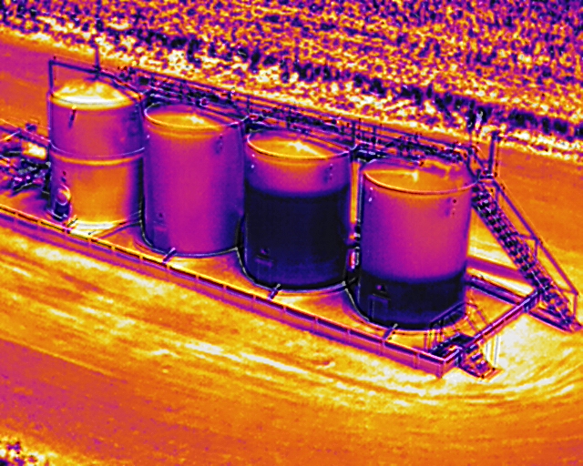
Thermal imaging drones are revolutionizing industries with their ability to detect heat signatures and provide critical insights. As experts in drone consulting, we help businesses harness this technology to enhance safety, efficiency, and decision-making.
Building Inspections
Thermal imaging drones are invaluable for identifying energy inefficiencies in buildings. They can detect:
- Heat loss through walls, windows, and roofs.
- HVAC system issues.
- Moisture intrusion, which may indicate leaks or mold growth.
By providing precise data, thermal drones help facility managers and contractors address problems proactively, saving money and resources.
Search and Rescue Operations
In emergency scenarios, time is critical. Thermal imaging drones assist search and rescue teams by:
- Detecting heat signatures of missing persons, even in dense forests or low-visibility conditions.
- Enhancing nighttime operations with clear thermal visuals.
This technology has proven to save lives and increase the efficiency of rescue missions.
Agriculture
Thermal imaging revolutionizes precision agriculture by helping farmers:
-
Identify stressed crops due to insufficient irrigation or pests.
-
Monitor soil conditions and optimize watering schedules.
-
Track livestock health and movement patterns.
With actionable insights, farmers can boost yields and reduce operational costs.
Infrastructure Maintenance
Inspecting power lines, pipelines, and solar panels becomes safer and more efficient with thermal drones. These devices:
-
Spot overheating components or electrical faults.
-
Detect leaks in pipelines.
-
Identify underperforming solar cells in large arrays.
Such insights help organizations prioritize repairs and prevent costly failures.
Advantages of Using Thermal Drones
Thermal drones offer a host of benefits, making them an indispensable tool across various industries. One of the most significant advantages is enhanced safety. By reducing the need for human presence in hazardous environments, these drones minimize risks during inspections and surveys, such as in high-voltage areas, disaster zones, or unstable structures. Additionally, they provide cost efficiency by significantly reducing the time and labor costs typically associated with traditional inspection methods, which often require scaffolding, ladders, or specialized personnel.
Thermal drones are highly scalable, making them suitable for projects of all sizes. Whether it’s a small-scale residential project or a large industrial site, these drones adapt seamlessly to different operational requirements. Furthermore, the ability to access real-time thermal data allows users to make quick, informed decisions—an essential feature in emergency situations where time is critical.
Choosing the Right Thermal Imaging Drone
Selecting the ideal thermal imaging drone requires careful consideration of specific project needs. The camera’s resolution is a key factor, as higher resolution provides more detailed thermal images, which is crucial for identifying small but significant temperature variations. The drone’s range is equally important to ensure it can operate effectively within the required distance, especially in large or remote areas.
Additionally, the drone’s payload capacity should be sufficient to carry the desired thermal imaging equipment without compromising performance. Lastly, software integration is a critical aspect, as systems compatible with data analysis tools enable a streamlined workflow, from data capture to actionable insights. By evaluating these factors, users can choose a thermal imaging drone that aligns with their operational goals and ensures optimal results.


laser scanning
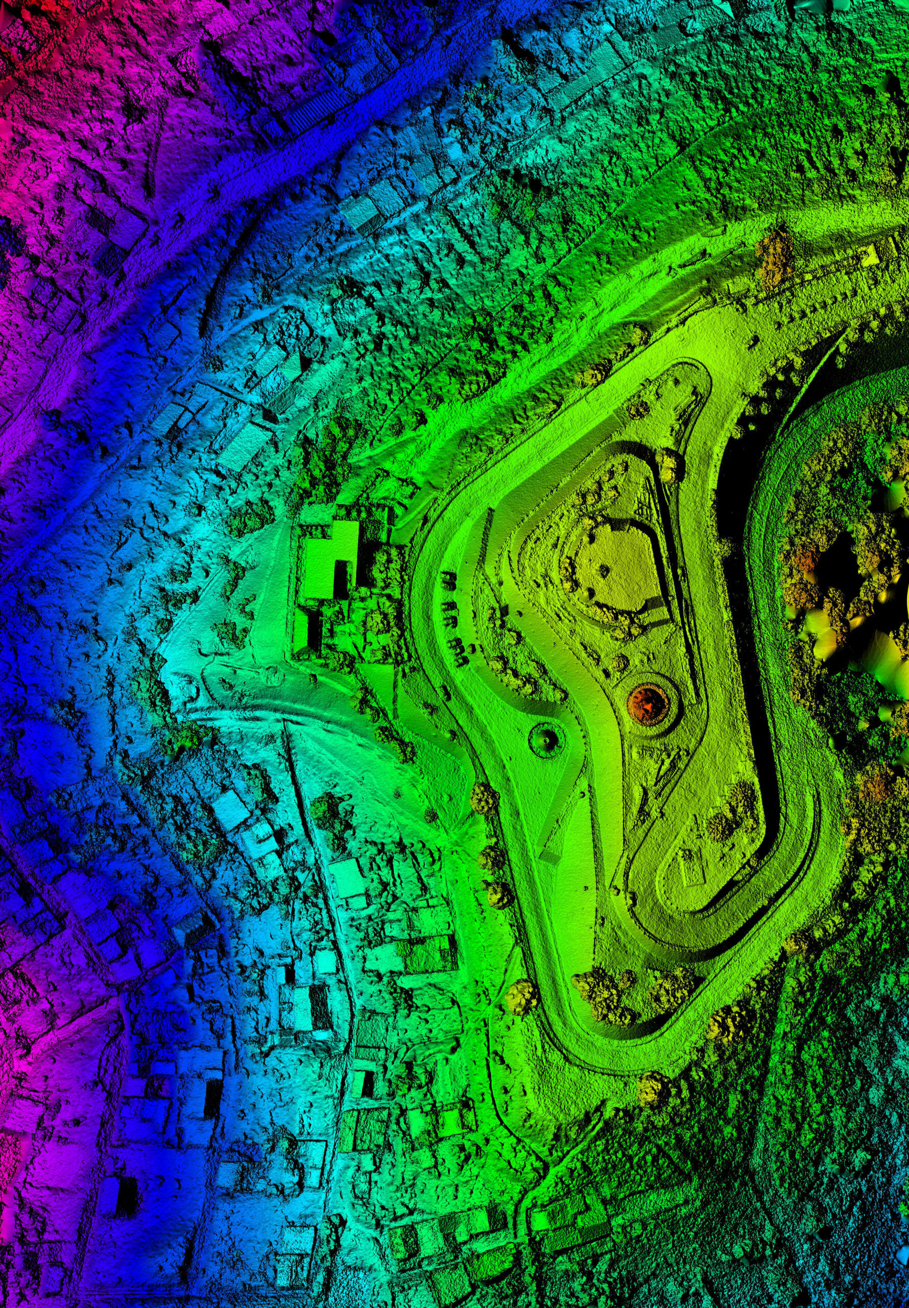
Drone laser scanning uses LiDAR sensors mounted on UAVs (Unmanned Aerial Vehicles) to emit laser pulses. These pulses bounce off surfaces and return to the sensor, enabling precise measurements of distances. The result is a highly accurate 3D map or digital elevation model of the surveyed area. Unlike traditional surveying methods, drone-based LiDAR can access hard-to-reach areas, collect data faster, and deliver unparalleled precision.
Benefits of Drone Laser Scanning Technology
- Access to Inaccessible Areas
- Versatility Across Industries
- Unmatched Accuracy and Detail
- Efficiency and Cost-Effectiveness
- Curabitur non bibendum ligula
- Donec sed finibus nisi
Why Choose a Drone Consulting Service for LiDAR Projects?
Implementing drone laser scanning technology can be a game-changer, but it requires expertise to maximize its potential. This is where a trusted drone consulting service becomes indispensable. Here’s how we help:
Tailored Solutions for Your Needs
Every project is unique, and we ensure that the technology aligns with your specific objectives. From selecting the right equipment to designing flight paths, our team customizes every detail.
Regulatory Compliance
Navigating the complexities of airspace regulations and permits can be daunting. We handle all compliance aspects, ensuring smooth and legal operations.
Expert Data Analysis
Raw LiDAR data requires skilled processing to generate actionable insights. Our team of experts transforms complex datasets into usable formats, such as CAD files or GIS maps.
Training and Support
For clients looking to build in-house capabilities, we offer comprehensive training and ongoing support to ensure your team is equipped to operate independently.
The Future of Drone Laser Scanning
As technology advances, we anticipate even greater possibilities for drone-based LiDAR. Enhanced sensor capabilities, integration with AI for automated data analysis, and expanded applications in urban planning and disaster management are just the beginning. By investing in drone laser scanning technology today, you position your organization at the forefront of innovation.
Ready to Elevate Your Projects?
At [Your Company Name], we specialize in bringing cutting-edge drone solutions to our clients. If you’re ready to unlock the potential of drone laser scanning technology, contact us today for a consultation. Together, we can transform your vision into reality.

aerial surveying and mapping
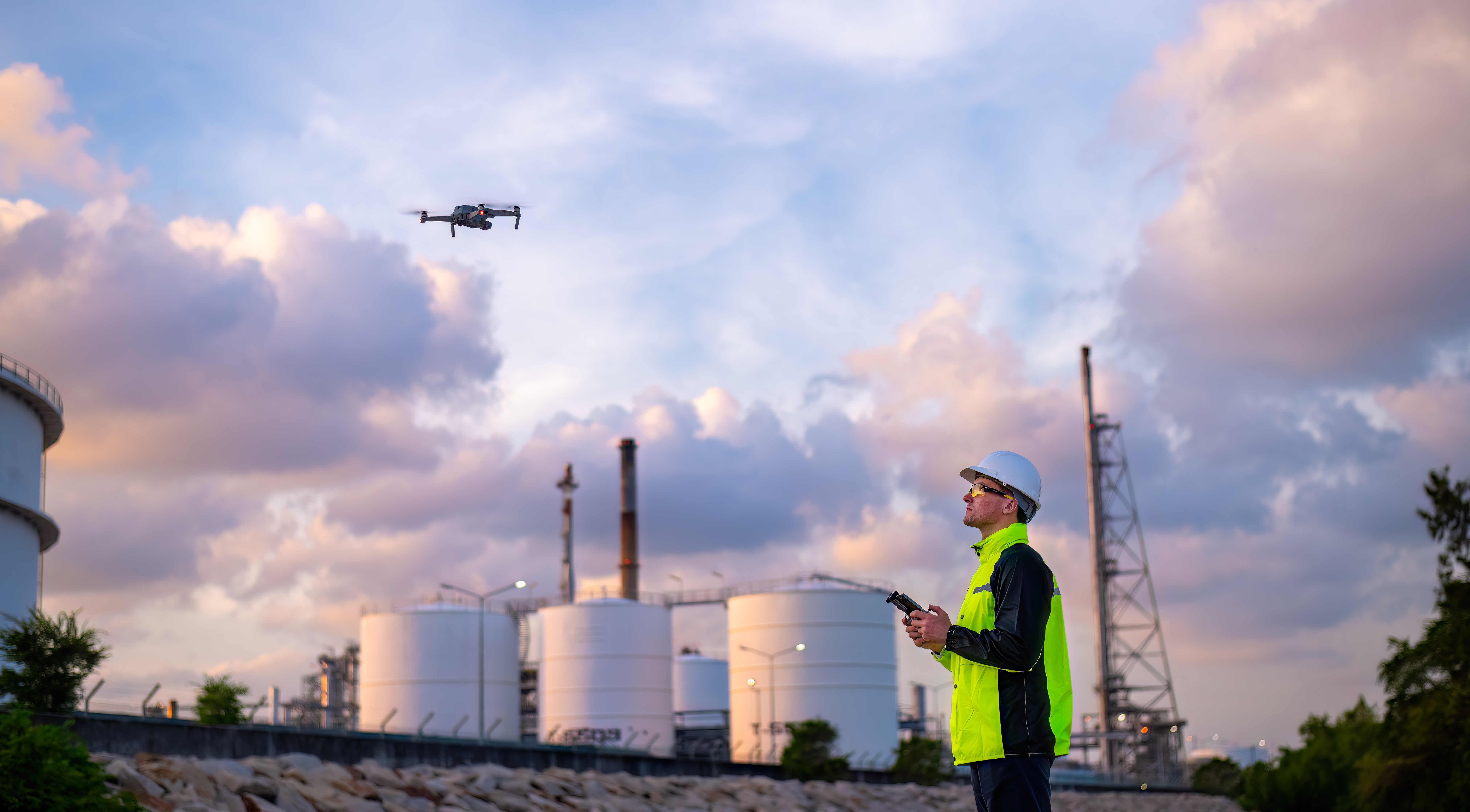
Aerial surveying and mapping involve the use of drones, also known as unmanned aerial vehicles (UAVs), to collect high-resolution images, videos, and data from the air. These images are processed into detailed maps and models, providing an accurate representation of the landscape, infrastructure, or specific site being surveyed. This innovative approach eliminates the need for traditional methods, such as ground-based surveys or manned aircraft, which can be costly, time-consuming, and potentially dangerous.
Applications of Drone Surveying and Mapping
- Construction and Infrastructure
- Agriculture and Land Management
- Mining and Quarrying
- Environmental Monitoring and Conservation
As drone technology continues to evolve, the possibilities for aerial surveying and mapping are endless. Innovations in software, sensors, and AI-driven data analysis are opening up new avenues for precision, automation, and scalability. At [Company Name], we’re at the forefront of these advancements, committed to delivering state-of-the-art drone services to meet the growing demands of industries across the globe.
The Benefits of Drone-Based Surveying and Mapping
Precision and Accuracy
Drones equipped with advanced GPS systems, high-definition cameras, and LiDAR (Light Detection and Ranging) sensors offer unparalleled accuracy in collecting geospatial data. With centimeter-level precision, drones can create highly detailed topographical maps, 3D models, and orthophotos, making them ideal for industries like construction, mining, agriculture, and environmental monitoring.
Cost Efficiency
Traditional surveying methods often require extensive labor, equipment, and time to complete. Drone surveying drastically reduces these costs. Not only do drones need fewer personnel, but they also require less equipment and can cover large areas in less time. This translates to cost savings and quicker turnaround times for clients.
Speed and Accessibility
Drones can fly over vast areas, capturing data much faster than traditional surveying methods. In many cases, a task that would take days or even weeks with ground crews can be completed in hours. Additionally, drones can access difficult-to-reach locations such as steep terrain, dense forests, or hazardous environments, ensuring comprehensive coverage without the need for risky interventions.
Real-Time Data Collection
Aerial surveying using drones allows for real-time data collection and analysis. This ensures that our clients can make informed decisions quickly, whether they’re monitoring construction progress, assessing land development projects, or conducting environmental impact studies. Instant access to accurate data means that projects can move forward without delays.

photogrammetry
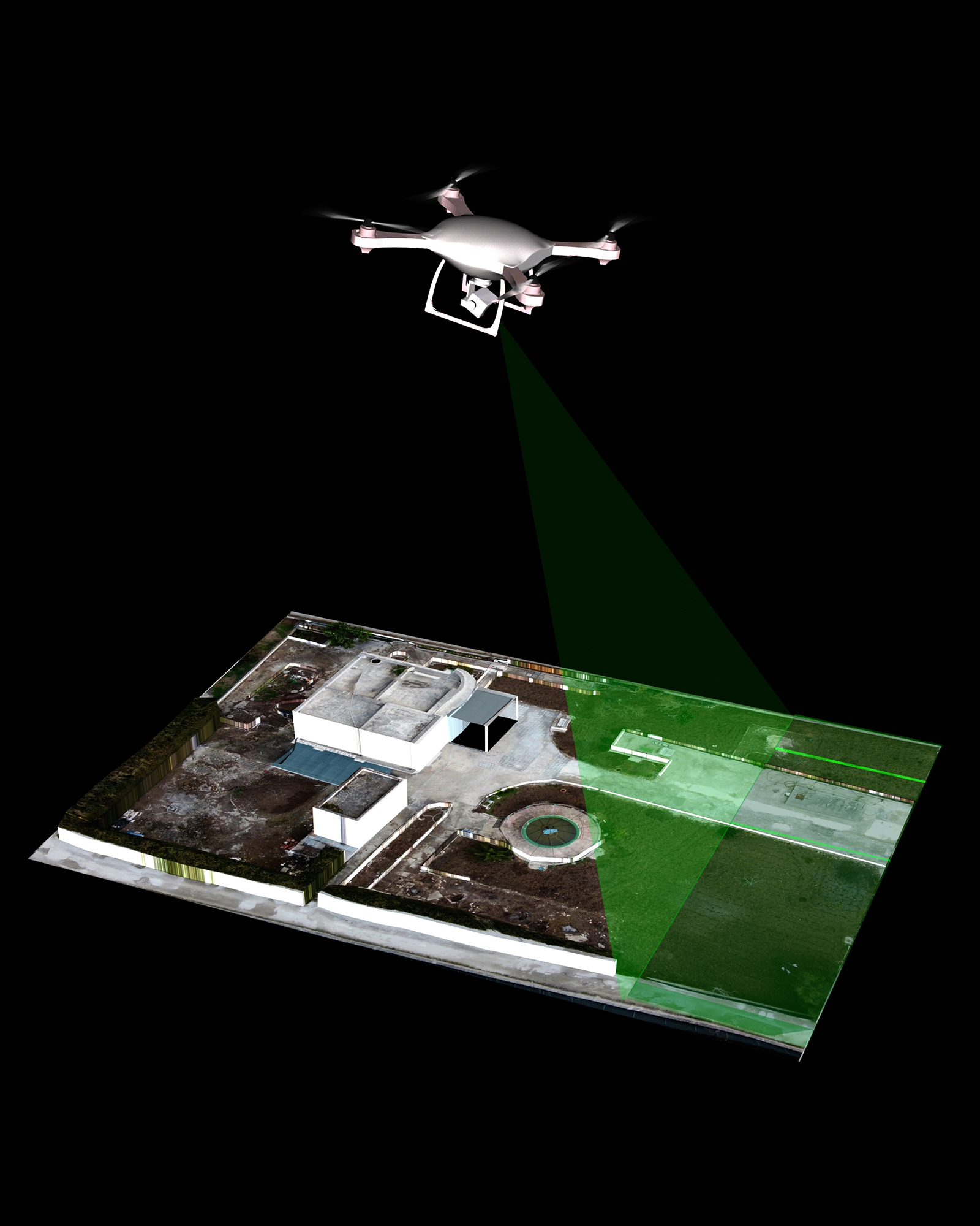
Aerial photogrammetry involves capturing high-resolution images from the air, typically using drones, and converting those images into detailed, measurable 3D models and maps. This technique uses overlapping photographs taken from different angles to create accurate representations of landscapes, buildings, and infrastructure. The results are highly accurate and versatile, making them invaluable for a wide range of applications.
Industries Benefiting from Aerial Photogrammetry
Construction and Engineering
Drone-based photogrammetry is streamlining project planning and management. With precise topographical maps and 3D models, construction teams can:
-
Conduct site surveys more efficiently than traditional methods.
-
Monitor progress and compare it to initial plans.
-
Identify potential issues early, reducing costly delays.
Real Estate and Urban Planning
Photogrammetry is transforming how real estate professionals and urban planners visualize and design spaces. Benefits include:
-
Creating interactive 3D models of properties for marketing purposes.
-
Planning urban developments with precise spatial data.
-
Conducting feasibility studies with a clear view of the terrain.
Agriculture
Farmers and agronomists are leveraging aerial photogrammetry to optimize crop management. By analyzing high-resolution maps and models, they can:
- Assess crop health and identify areas needing attention.
- Monitor irrigation systems and water distribution.
- Plan planting and harvesting schedules more effectively.
Environmental Conservation
For environmental scientists and conservationists, aerial photogrammetry offers a non-invasive way to monitor ecosystems. Applications include:
-
Mapping forests to track deforestation.
-
Monitoring wildlife habitats.
-
Assessing the impact of natural disasters.
The Advantages of Photogrammetry
Cost-Effective
Drones significantly reduce the cost of traditional surveying methods, which often involve manned aircraft or ground-based teams.
Time-Saving
What once took weeks can now be completed in hours. Drones cover large areas quickly and provide data in near real-time.
Safety
Drones eliminate the need for surveyors to access hazardous or hard-to-reach areas, enhancing workplace safety.
Accuracy and Detail
Advanced drone cameras and software ensure unparalleled precision, producing data that meets or exceeds industry standards.
How Telos Aerial Can Help
At Telos, we specialize in helping businesses integrate aerial photogrammetry into their operations. Our services include:
- Customized Solutions: Tailored photogrammetry workflows to meet specific project needs.
- Training: Comprehensive training for your team to use drone technology effectively.
- Data Analysis: Expertise in processing and interpreting photogrammetric data for actionable insights.
The Future of Aerial Photogrammetry
As drone technology continues to advance, the potential applications of aerial photogrammetry are expanding rapidly. From autonomous mapping systems to AI-powered data analysis, the future is bright for businesses ready to embrace this technology.
If you’re interested in exploring how aerial photogrammetry can benefit your business, contact Telos Aerial today. Let us help you unlock the full potential of your projects with cutting-edge drone solutions.
Latest Projects
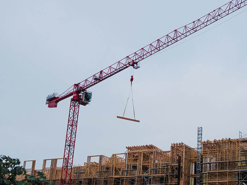
Quisque aliquet velit sit amet sem interdum.
Lorem ipsum dolor sit amet, consectetur adipiscing elit. Donec sed finibus nisi, sed dictum eros.

In non pulvinar purus. Curabitur nisi odio.
Lorem ipsum dolor sit amet, consectetur adipiscing elit. Donec sed finibus nisi, sed dictum eros.
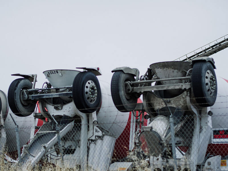
Nisl massa, ultrices vitae ornare sit amet, ultricies eget orci.
Lorem ipsum dolor sit amet, consectetur adipiscing elit. Donec sed finibus nisi, sed dictum eros.
